Oahu Hikes
Seven trails worth your legs: a remote wildlife sanctuary, the summit every visitor climbs, a 1,048-step railway up a crater, the Crouching Lion above Kahana Bay, a jungle waterfall through the bamboo, pillboxes above Lanikai, and the lighthouse road above the whales.
Ka'ena Point
PICK
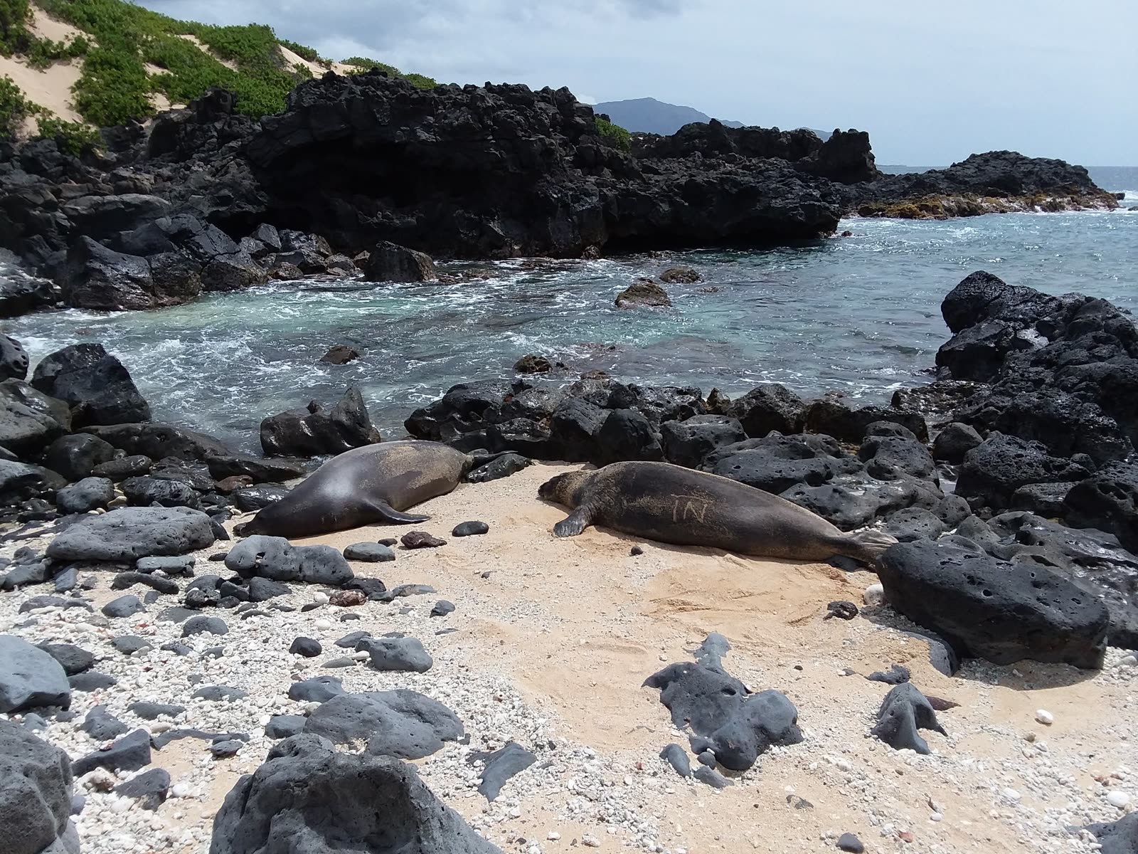
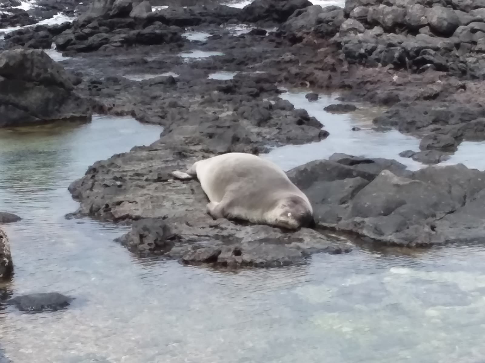
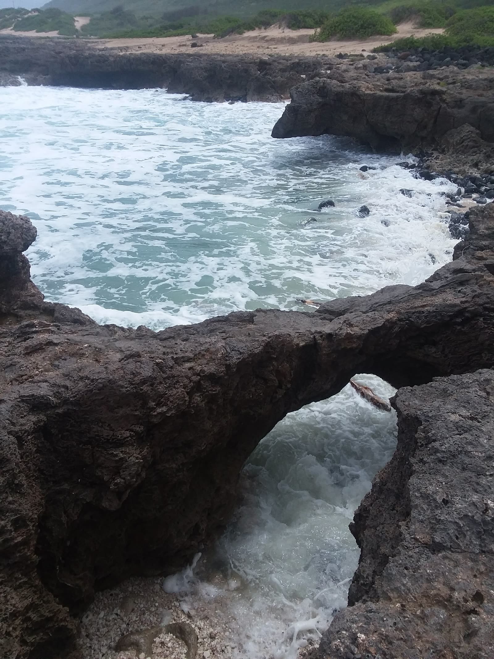
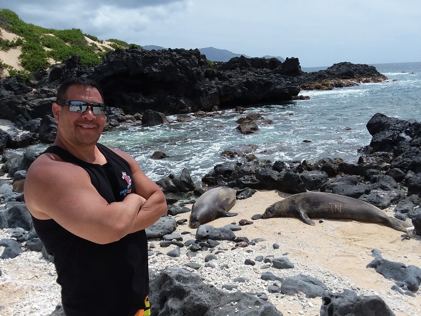
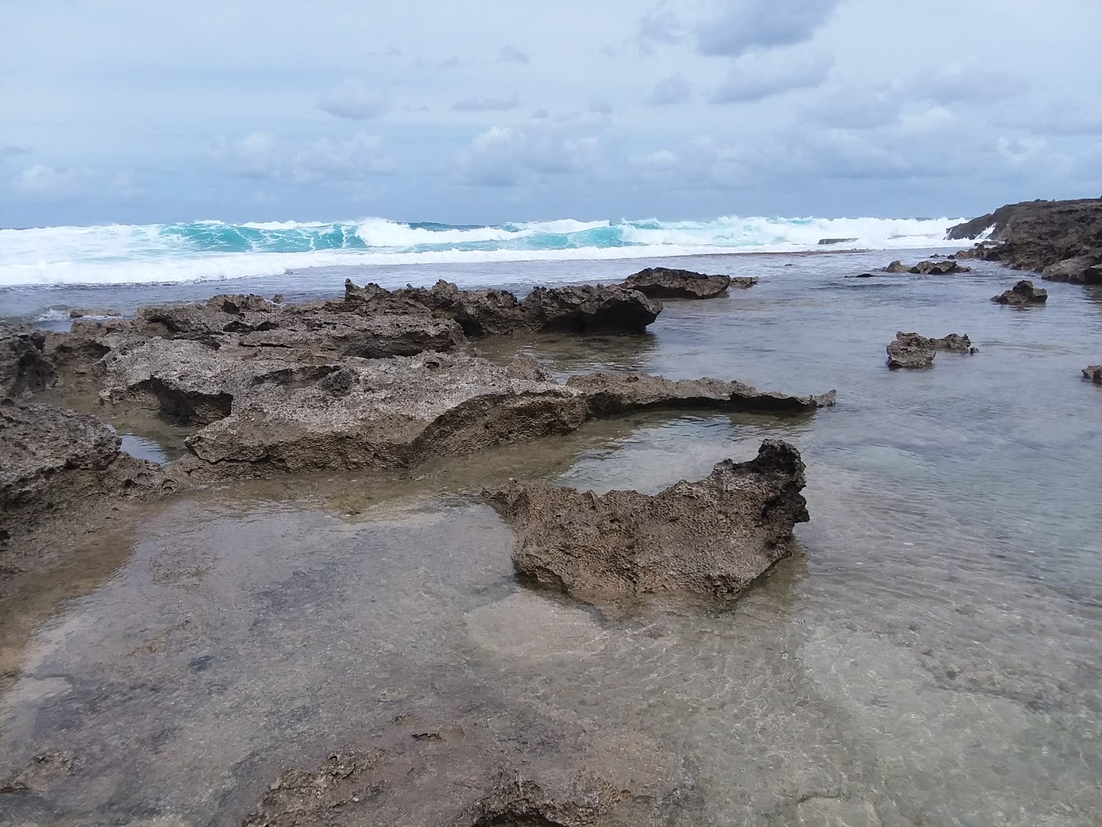
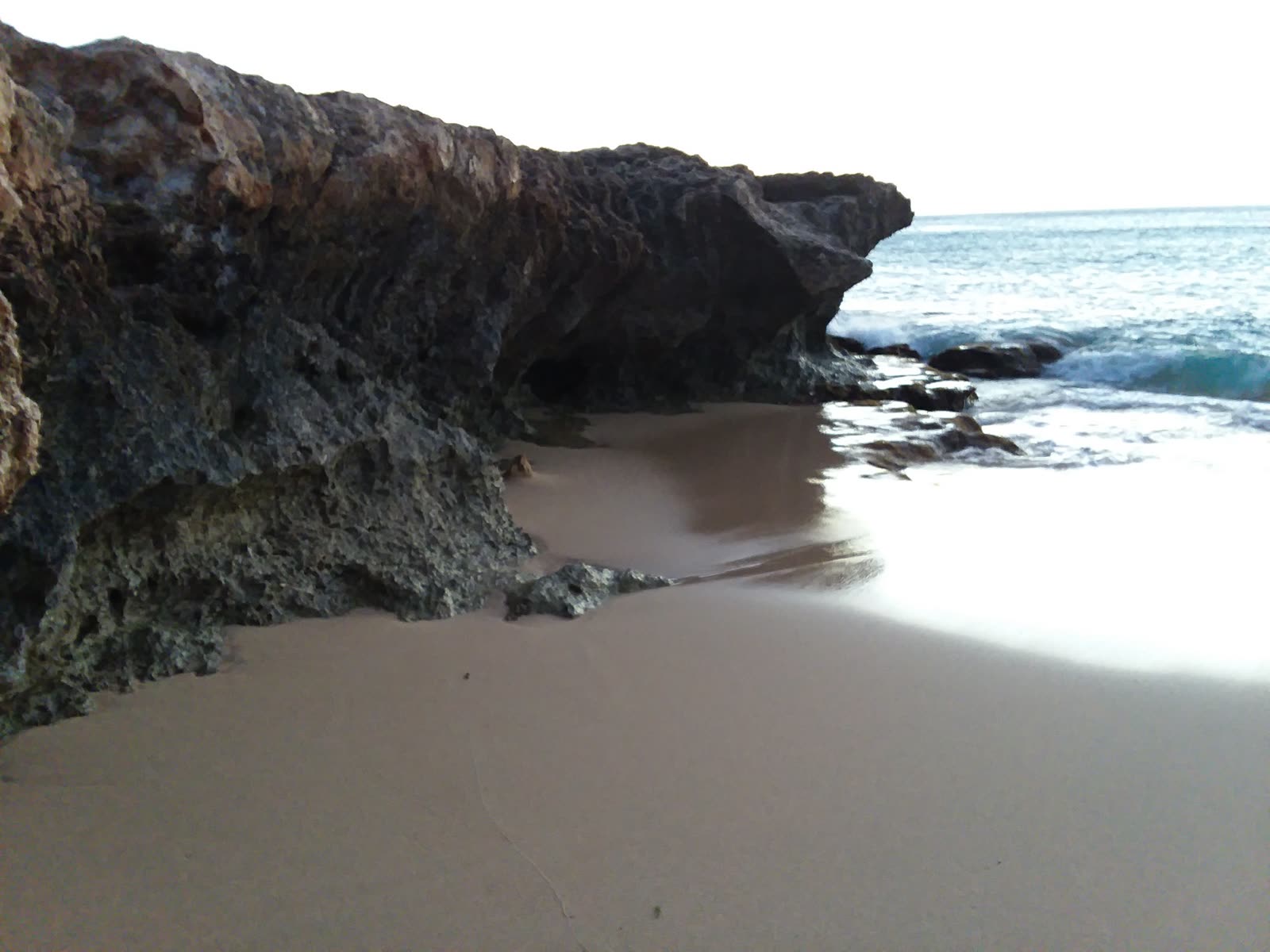
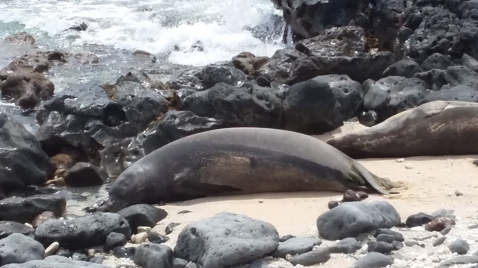
Ka'ena Point is the westernmost tip of Oahu — a flat, hot, exposed coastal trail ending at a Natural Area Reserve sanctuary where Hawaiian monk seals and seabirds live year-round. It's free, open daily roughly 6 AM to 7 PM, and needs no reservations or permits for day hiking.
There are two ways in: from the North Shore side past Mokuleia/Dillingham Airfield where Farrington Hwy ends, or from the Wai'anae side at Yokohama Bay (Keawa'ula Beach) where the road ends, hiking north. The trail runs 2.5–3.5 miles each way — about 5 miles round trip — with no shade, no water, and no facilities. Start before 8 AM.
The wildlife is the payoff: monk seals — give them 50+ feet, they're federally protected — Laysan albatross and shearwaters year-round, and humpback whales offshore in winter and early spring. Don't swim (rocks, surf, currents — no lifeguards), and leave nothing visible in your car: break-ins are reported at the trailheads.
✎ My Notes
- This is not the hike to "see how far you get." Bring a liter more water than you think you need, and start before 8 AM — by 11 the trail is an oven.
- The seal will be asleep on the sand and it'll look like it needs help. It doesn't. Fifty feet minimum, and let it be.
- Take everything out of your car — not hidden in the trunk, OUT. The trailheads are known for break-ins.
Diamond Head
-
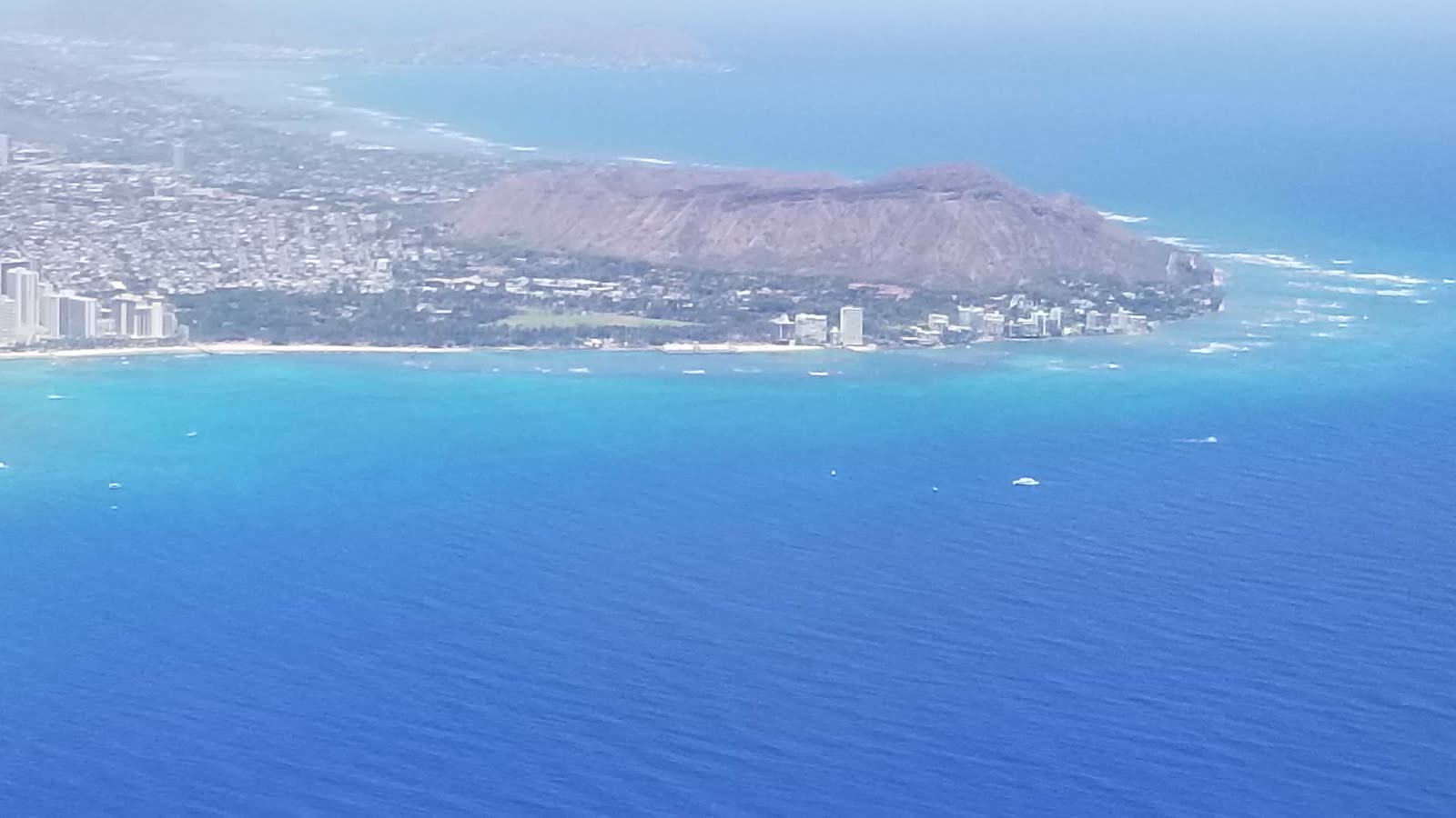
The crater from above — Waikiki at its feet.
-
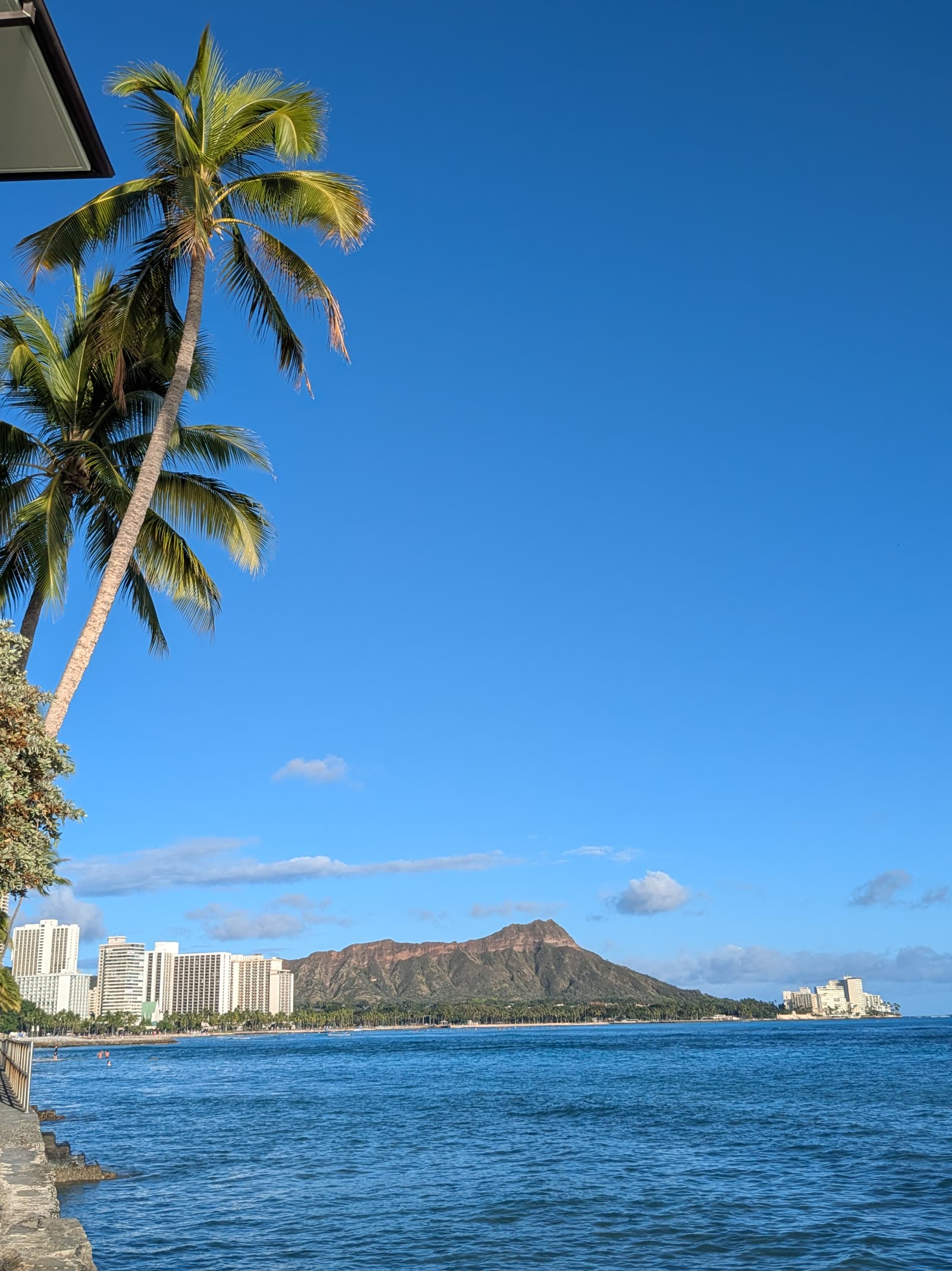
Diamond Head from the water.
-
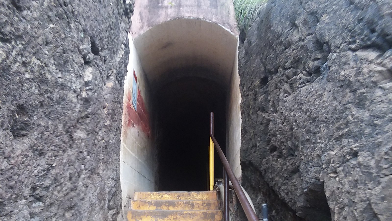
The stairs into the tunnel, climbing through the crater wall.
-
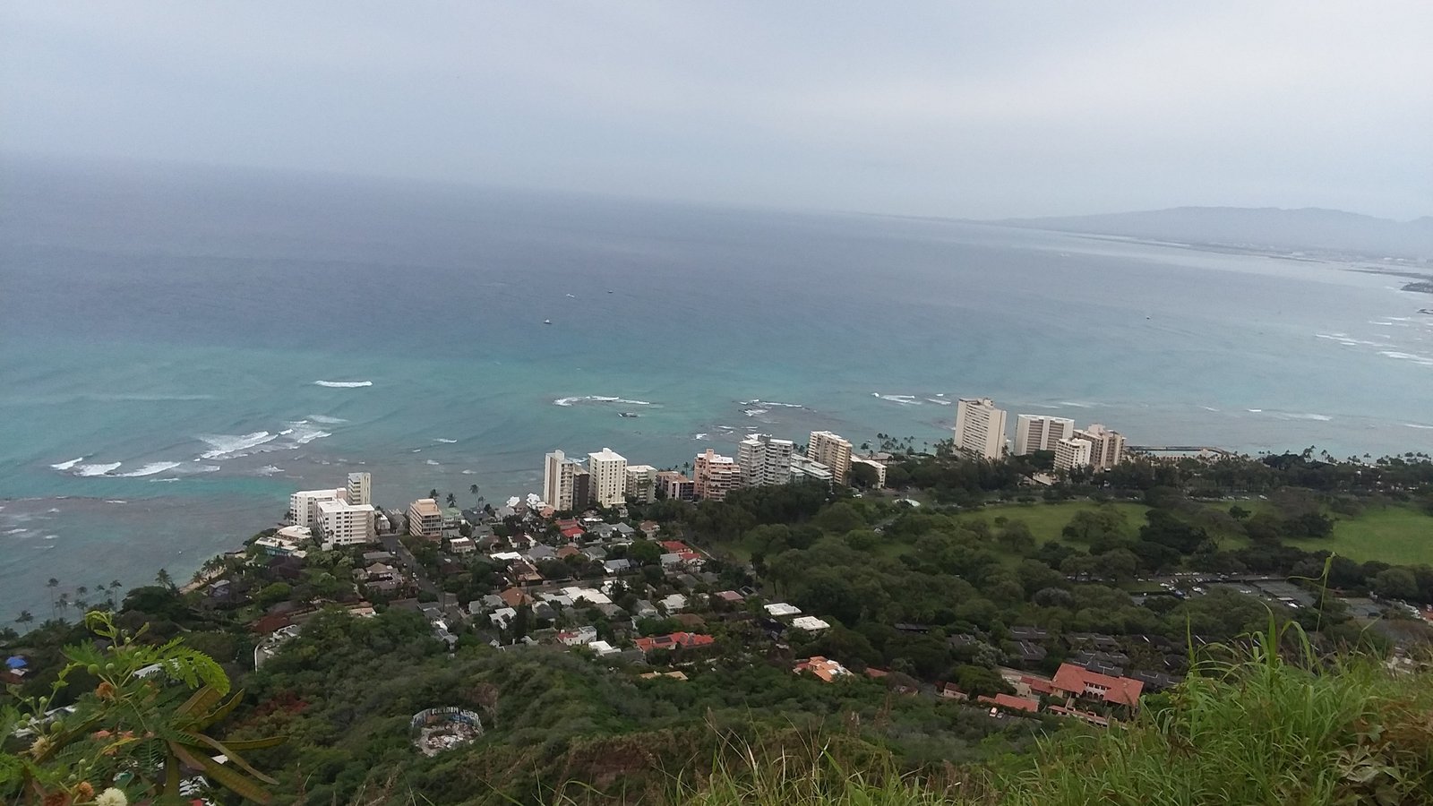
From the summit — the crater below and the coast running east.
Diamond Head State Monument is Oahu's most famous hike — a 0.8-mile trail climbing 560 feet through a 225-foot entry tunnel and steep stairs to a summit with panoramic views of Honolulu and Waikiki. Allow 1.5 to 2 hours round trip.
Non-residents must book ahead: entry is $5 per person plus $10 per vehicle parking, reserved online through the Go State Parks Hawaii site up to 30 days in advance — no reservation, no entry (except Hawaiʻi residents with valid ID, who enter and park free without one).
Hours run 6:00 AM–6:00 PM daily with the last reservation slots around 4:00 PM — book an early slot to beat the heat and the crowds.
Check current requirements before you go: the state has adjusted the reservation system before and can again. Official info at dlnr.hawaii.gov.
✎ My Notes
- Book the earliest slot you can get. By 10 AM you're climbing in full sun behind a line of people.
- Bring water and real shoes. It's "only" 0.8 miles, but the stairs near the top have humbled plenty of fit people.
- Double-check the reservation rules on the official page before you fly — the state has changed this system before and will again.
Koko Crater Railway
A stair climb wearing a hike’s clothes: 1,048 railroad ties straight up the flank of Koko Crater, following the tramway the military built during World War II to haul supplies to the summit lookout. It’s 1.6 miles round trip and 885 feet of gain, and the payoff is a full 360° top — Hanauma Bay below, Hawaiʻi Kai behind you, and the whole southeast coast laid out.
You’ll find it at Koko Head in Hawaiʻi Kai. There is no shade anywhere on this trail — Michael’s rule is sunrise or don’t.
📷 Pictures coming soonCrouching Lion
-
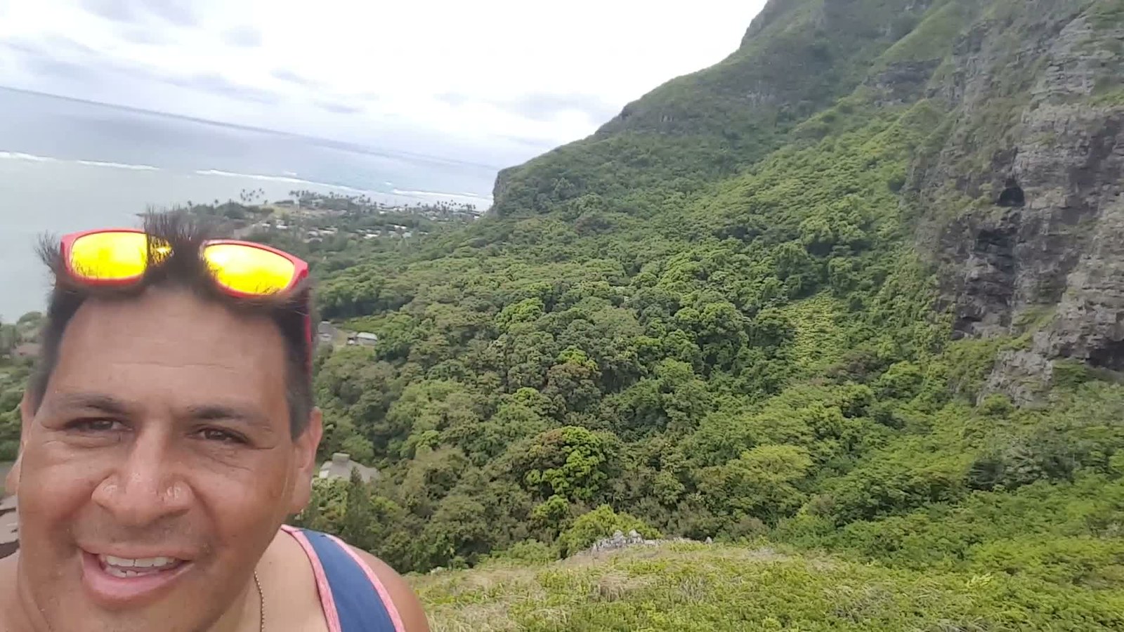
Michael above the Kaʻaʻawa valley — Kahana Bay and the coast behind, 2017.
-
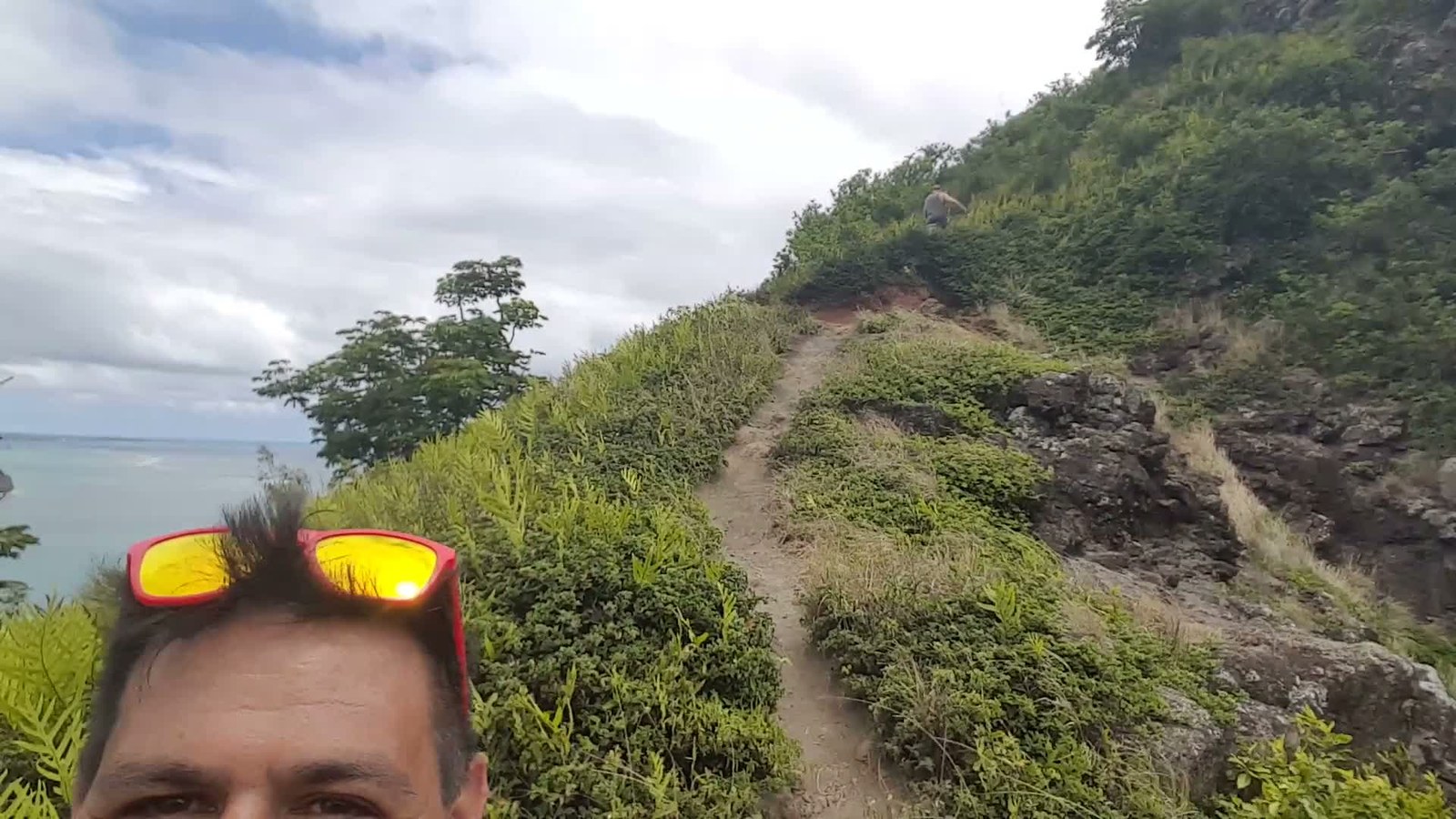
The trail itself: short, steep, and straight up the ridge.
-
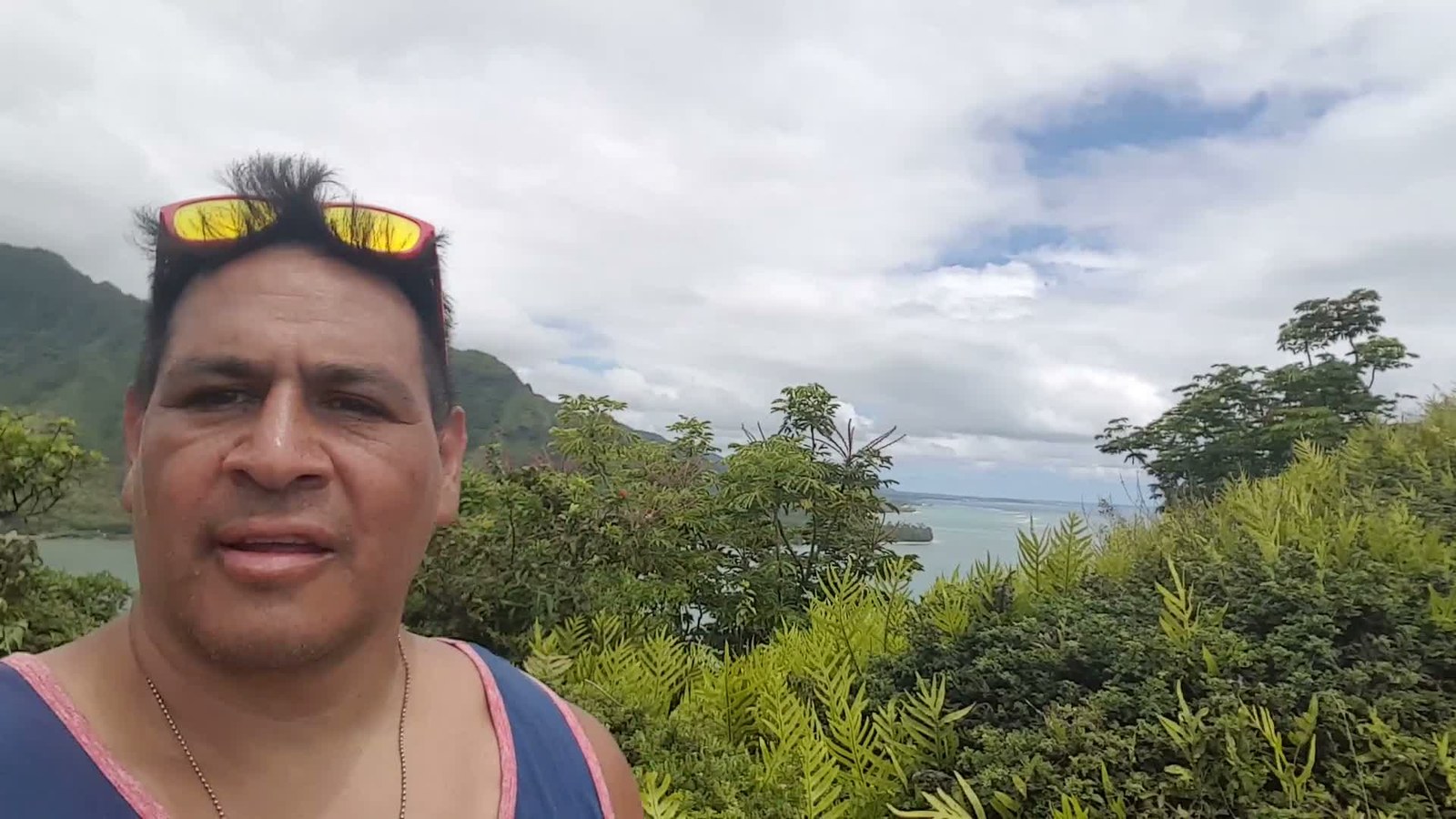
Looking the other way up the coast — Kāneʻohe Bay in the distance.
A short, steep scramble off Kamehameha Highway in Kaʻaʻawa that pays out way above its length — within about half an hour you're standing on a ridge above Kahana Bay with the whole windward coast in front of you.
The honest warnings: it's unmaintained, muddy after rain, and the top has real drop-offs. Dry day, real shoes, and turn around if the mud says so. These photos are from Michael's 2017 hike up here — the view hasn't changed a bit.
✎ My Notes
- The trailhead is a roadside pullout near Kahana Bay — park there, then walk to the opening in the trees.
- Dry days only. Windward mud on that slope is a slide, not a trail.
- Leave nothing in the car — break-ins at the pullout are a known thing.
Lulumahu Falls
-
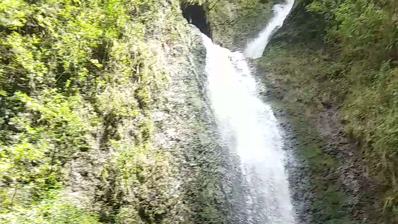
The falls running strong — about fifty feet down a green wall, 2018.
-

The way in: follow the stream through the bamboo forest.
-
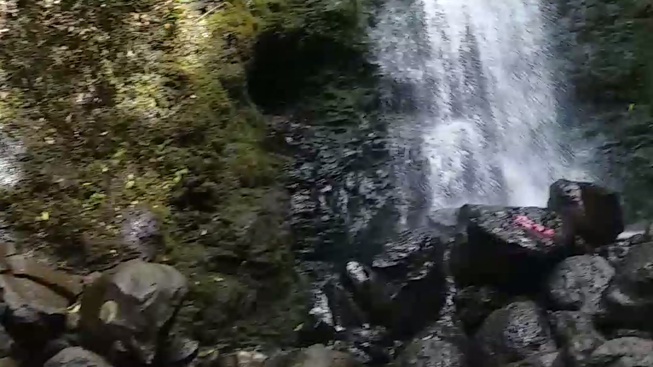
The pool at the base — and the pink trail paint on the boulder. Those markers guide the whole way in.
Most waterfall hikes feel like a park. Lulumahu feels like an expedition — the trailhead hides off the Pali Highway, and from there you follow the stream through a bamboo forest, crossing the water again and again while the valley walls close in green around you.
At the end, the stream pours about fifty feet down a mossy wall into a boulder pool. These photos are from our 2018 hike in — the falls running strong after the rains, and the pink trail paint on the boulders at the base. That paint matters: the whole route is marked with ribbons and blazes, and following them is the difference between a hike and an unplanned tour of the entire valley.
✎ My Notes
- Book the permit first — $2.50 online, and they do check. No permit, no hike.
- Follow the pink ribbons and paint blazes when the trail fades, and stay near the stream. No ribbon in a while? You missed a turn.
- Mud is not a risk here, it's a guarantee. Wear shoes that can get wet and filthy — and bring the mosquito spray.
- Leave nothing visible in the car. The little dirt lot is known for break-ins.
- Heavy rain? Skip it. The stream crossings turn serious fast, and this valley floods.
Lanikai Pillboxes (Ka'iwa Ridge)
Two concrete WWII-era pillboxes sit on the Ka'iwa Ridge above Lanikai, and the view from them — Lanikai Beach, the twin Mokulua islands, the whole windward coast — is the one on a thousand phone wallpapers. The trail climbs from the Lanikai neighborhood: steep and loose at the start, then a ridge walk in the sun.
The trailhead is on a residential street (Ka'elepulu Drive), so this hike runs on neighborhood goodwill: keep voices down early, park legally and off the grass, and pack out everything. Sunrise is the famous play — the sun comes up right behind the Mokes.
✎ My Notes
- Sunrise is the move — headlamp up, coffee at the second pillbox.
- Zero shade the whole way. Water and a hat, even at dawn.
- Weekdays beat the weekend conga line by a mile.
Makapu'u Lighthouse Trail
-
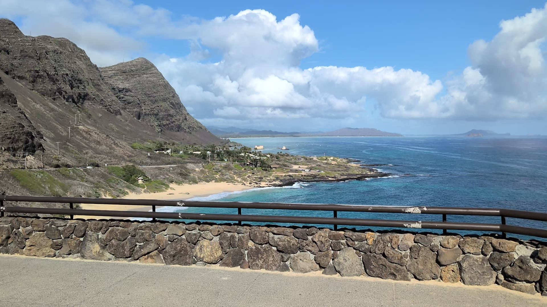
From the trail's lookout — Makapu'u Beach and the Kaiwi coast spread out below (frame from Michael's video, 2025).
-
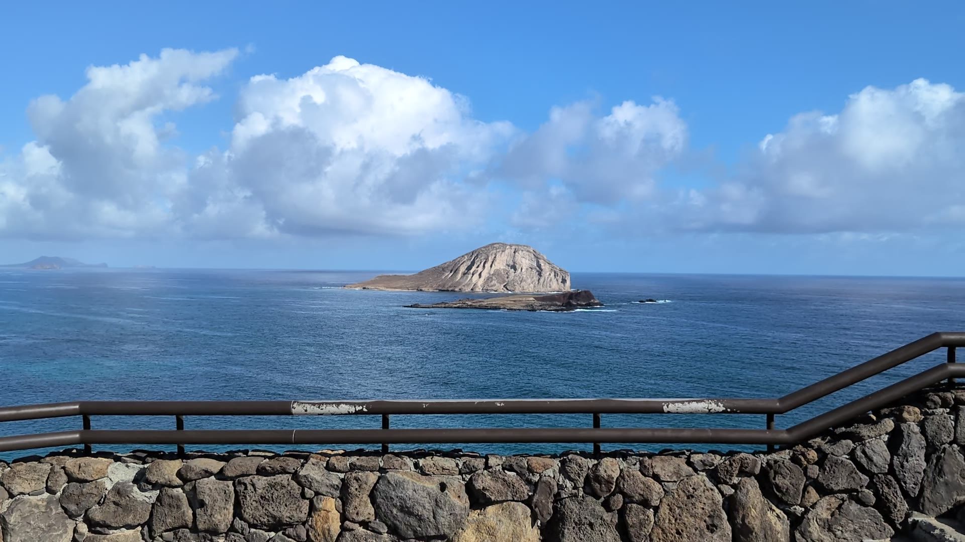
Rabbit Island (Mānana) from the paved trail — the view the lighthouse keepers had (frame from Michael's video, 2025).
A paved old road climbs the Kaiwi coast to the red-roofed lighthouse viewpoint — the most accessible big-view hike on the island. You can't enter the lighthouse itself, but the trail looks straight down on it, out to Rabbit Island, and on a clear day all the way to Molokai.
From December through April this is also Oahu's best free whale-watching seat — humpbacks cruise the channel below the cliffs. The parking lot is gated, so check the posted hours before you plan a sunset run; sunrise walkers get the lot, the light, and the whales to themselves.
✎ My Notes
- No shade anywhere — this is a sunrise or winter-morning hike.
- Bring binoculars in whale season. The channel below is a humpback highway.
- The trailhead lot fills by 9 AM on weekends; the overflow shoulder goes fast too.
Join the OahuX2 Community
Share tips, trip photos, and local secrets with fellow Oahu lovers in Michael's free Facebook group.
Join our Facebook Group